GIS Day 2019

GIS DAY @ IU: WEDNESDAY, NOV 13

WHAT IS GIS?

“A geographic information system (GIS) is a computer system for capturing, storing, checking, and displaying data related to positions on Earth’s surface. GIS can show many different kinds of data on one map. This enables people to more easily see, analyze, and understand patterns and relationships.” -National Geographic Society

Whether you’re a spatial expert and want to network with other GIS practitioners, or this is the first time you’re hearing about GIS, GIS Day has something for you! GIS Day at Indiana University kicks off with a keynote speaker at noon (registration required), followed by an information fair in the Wells Library Lobby. Lunch will be provided for registered keynote attendees. For more information, scroll on!

MAIRA ALVAREZ & SYLVIA FERNANDEZ, THE BORDERLANDS ARCHIVES CARTOGRAPHY PROJECT

Alternative Cartographies: Dismantling Borders' Toxic Discourses and Colonial Cultural Records

While cartography is a colonialist product when unrepresented individuals or communities utilize and recreate these tools they serve to contest a colonial cultural record. With respect to U.S.-Mexico borderlands, toxic discourses have continuously altered its history, social dynamics, culture, local and binational relationships. This presentation brings to the forefront initiatives that create alternative cartographies that challenge colonialist impositions such as: Borderlands Archives Cartography (BAC), a transborderlands project dedicated to locate, map and facilitate access to nineteenth and mid-twentieth century U.S.-Mexico borderlands newspapers; and Torn Apart / Separados, a mobilized humanities project that intervenes in the United States’ immigration debates with data narratives illuminating the effects of the government’s policy of separating families and the infrastructure subtending immigration enforcement. These initiatives use GIS tools to interpret data and archival material in new ways, enabling to see patterns otherwise invisible in static maps. BAC and Torn Apart digital maps and visualizations pose new questions contest established narratives, creates alternative forms of mapping and activate a knowledge production shaped from the ground-up. With this in mind, these alternative cartographies function as a historical and cultural record of the present and become resources to resist impositions in the future.

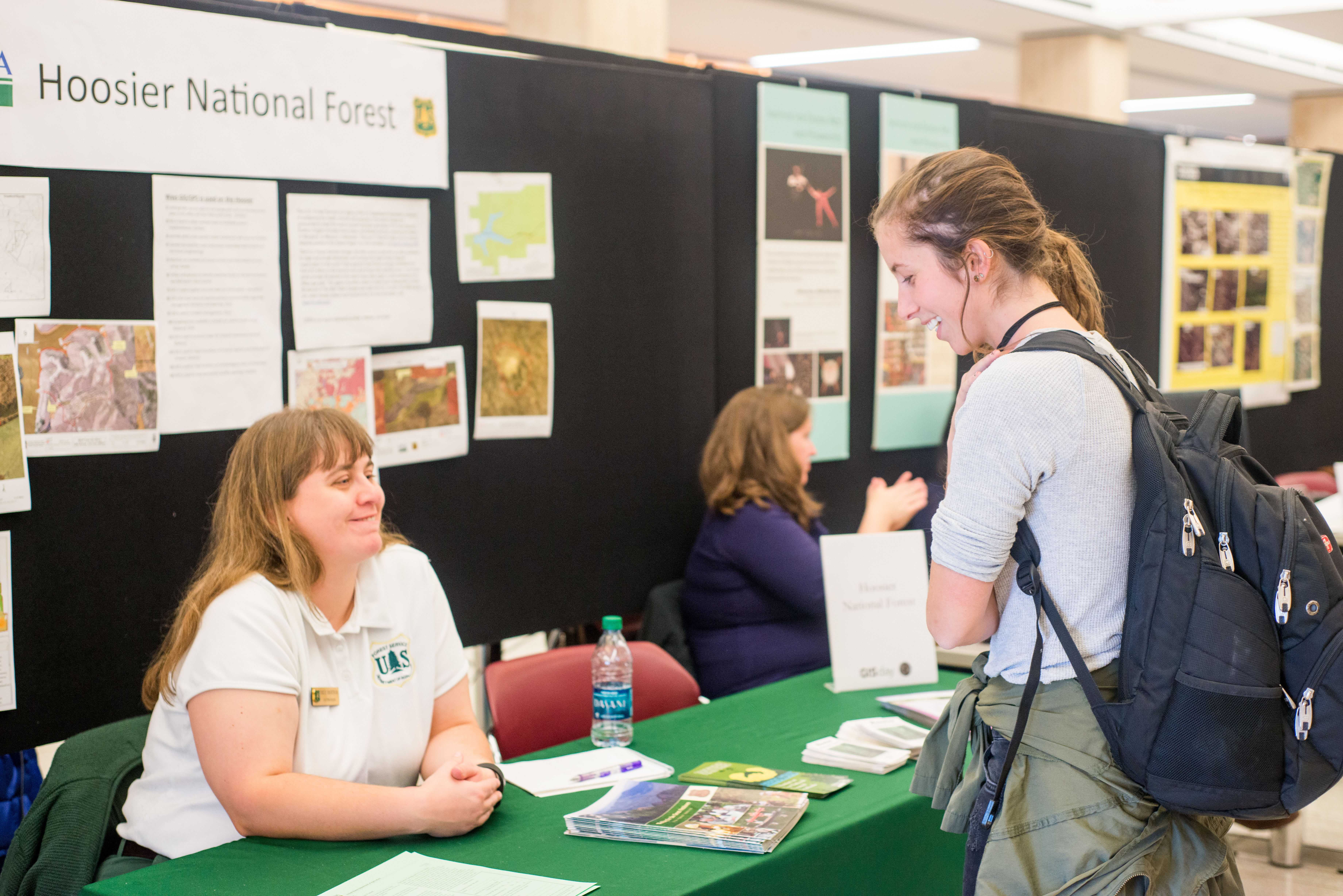
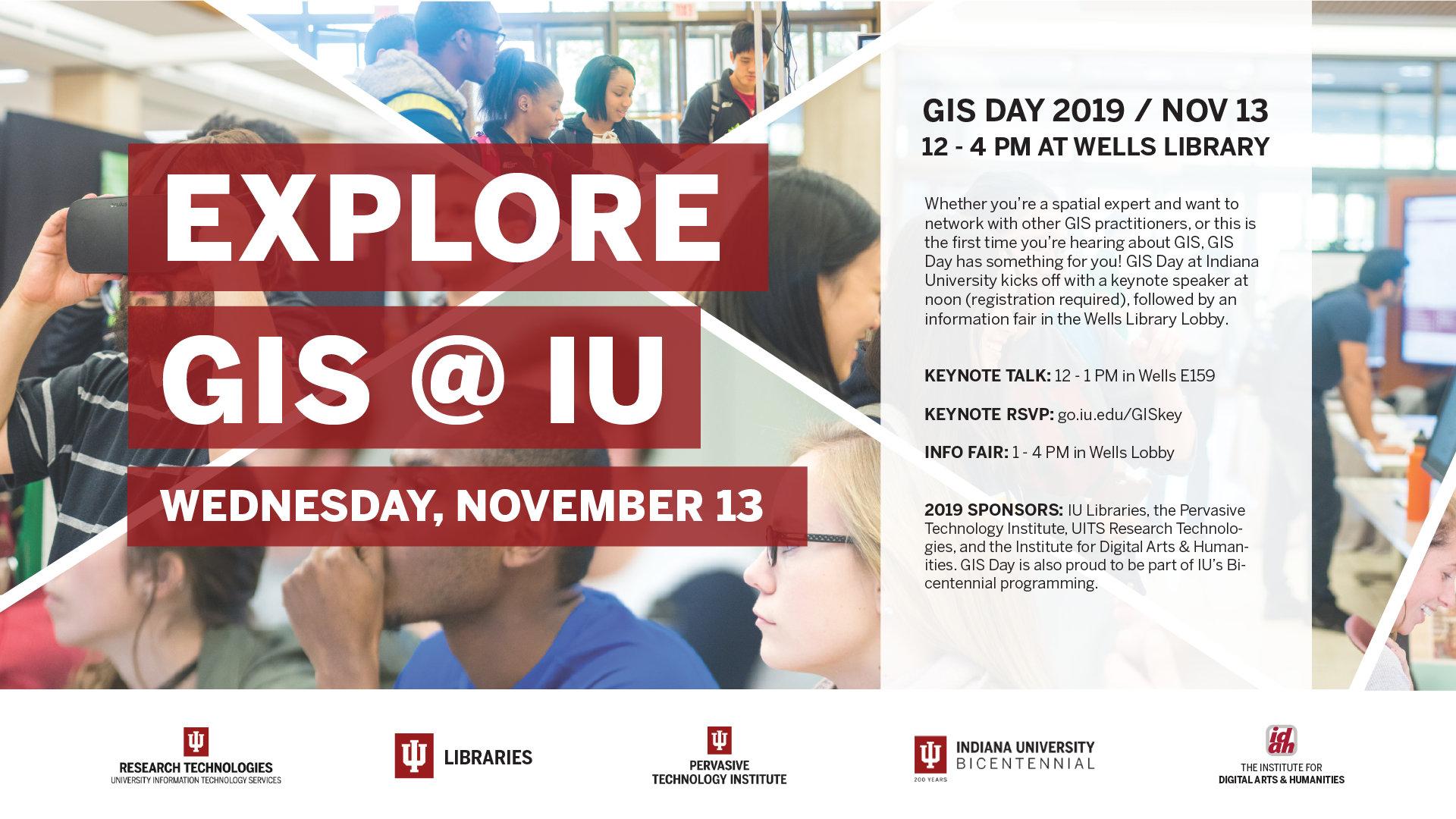
Registration for the GIS Day 2019 keynote address is now open. Lunch will be provided for all registered attendees.

MORE ABOUT THE SPEAKERS    KEYNOTE REGISTRATION

ABOUT THE INFO FAIR

GIS Day 2019 is the 21st anniversary of GIS Day, the worldwide, annual event celebrating GIS technology and its applications. Geographic Information Systems, or GIS, connects people with the geointelligence they need to work more efficiently and make better decisions. GIS supports a geographic approach to problem-solving. From Google Maps technology, to systems that monitor the spread of disease and manage environmental emergencies, GIS technologies are tools that help people do a better job and make a difference.

At IU’s local event, GIS professionals and educators will talk with attendees about the GIS job market, training and certification opportunities, and the many ways that GIS technologies are shaping the way we live, learn and do business. GIS professionals will showcase topics including deforestation and reforestation studies, environmental and library science applications, and mapping services for the City of Bloomington and Monroe County. Representatives from the Indiana Geological Survey and the Indiana Geographic Information Council will demonstrate the IndianaMap and provide information regarding Indiana's LiDAR, orthophotography, and other GIS projects.

GIS DAY INFO FAIR PARTICIPANTS

Contact: Michelle Bartley-Taylor
Website: cewit.indiana.edu
Description: Empowering women (and allies) to build confidence and knowledge about technology, expand leadership and tech skills, and to fully leverage technology in support of academic and professional excellence. Come learn about our center and ways to get involved.

Contact: Max Stier and Richard Creek
Website: bloomington.in.gov/gis
Description: Information on GIS/Mapping Data and Services for the City of Bloomington

Contact: Dana Bissey
Website: cpf.iu.edu/about/units/space-planning.html
Description: GIS tools used in campus mapping

Contact: Victoria Montgomery
Description: The U.S. Census Bureau is a statistical agency dedicated to providing facts and figures about America's people, places and economy. Allow us to share information about the Geography Department's role in the census and the job opportunities that are available.

Contact: Gary Motz
Website: igws.indiana.edu
Description: The IGWS hosts the acclaimed IndianaMap platform, a statewide GIS for all sorts of geospatial data and serves as the earth science data repository for the State of Indiana. Come and explore how these data are collected and distributed in web apps, StoryMaps, and open data hubs with the Indiana Geological and Water Survey.

Contact: Theresa Quill
Website: libraries.indiana.eduhttps://libraries.indiana.edu
Description: GIS Research and Opportunities at the IU Research and Teaching Preserve

Contact: Kalani Craig & Michelle Dalmau
Website: idah.indiana.edu
Description: GIS in the digital humanities

Contact: Trohn Enright-Randolph
Website: monroein.elevatemaps.io
Description: Monroe County Government & ArcGIS Online

Contact: Chris Walls
Description: Are you interested in a career in GIS, Big Data, Artificial Intelligence or Machine Learning? If so, please come by our booth. We have offices located in Bloomington, Indiana and Murrieta, California. We look forward to seeing you.

Contact: Bernadette DeLeon
Website: publichealth.indiana.edu
Description: Public Health GIS including Community-integrated GIS and Systems-based local health Assessments

Contact: Avram Primack
Website: oneill.indiana.edu
Description: The School of Public Affairs works with GIS in environmental modeling, public management and planning, and many other areas of public policy.

Contact: Tom Doak
Description: HPC for Biologists

Contact: Marina Krenz
Website: www.indiana.edu/~gis/
Description: Research data services with Research Technologies here at Indiana University support and maintain ISDP (Indiana Spatial Data Portal) as well as distribute Esri software licenses.

Contact: April Byrne
Website: sustain.iu.edu/
Description: Sustain IU and Landscape Services will share its interactive web map of the campus' 2019 tree inventory that allows you to do analyses on tree condition, species, size, and much more.

GIS DAY 2019 SPONSORS

IU-Libraries-Logo-for-GIS-Site.png

IU Libraries
Contact: Elinor Okada
Website: libraries.indiana.edu

bicentennial_logo.png

Indiana University Bicentennial
Website: 200.iu.edu

RT_UITS_vertical_red-black.jpeg

Research Technologies (University Information Technology Services)
Contact: Robert Ping
Website: rt.iu.edu

PTI_vertical_red-black.jpeg

Pervasive Technology Institute (UITS)
Contact: pti.iu.edu/contact
Website: pti.iu.edu

IDAH-logo-for-GIS-site.png

The Institute for Digital Arts & Humanities
Contact: Kalani Craig & Michelle Dalmau (idah@indiana.edu)
Website: idah.indiana.edu