GIS Day with IDAH and IU

Wednesday, November 08, 2017

10:00 AM2:00 PM

Wells Library lobby

Come join IDAH, CEWiT, and a host of other participants as we showcase the power of mapping and spatial interaction. IDAH in particular will be showcasing mapping projects from the arts & humanities, and we need your help with a mapping project of our own.

Mapping Interventions in Action

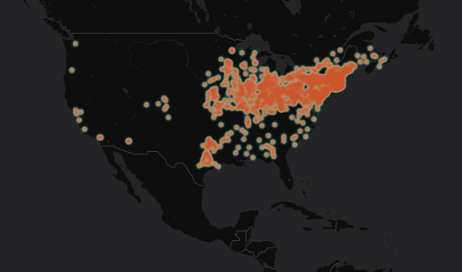
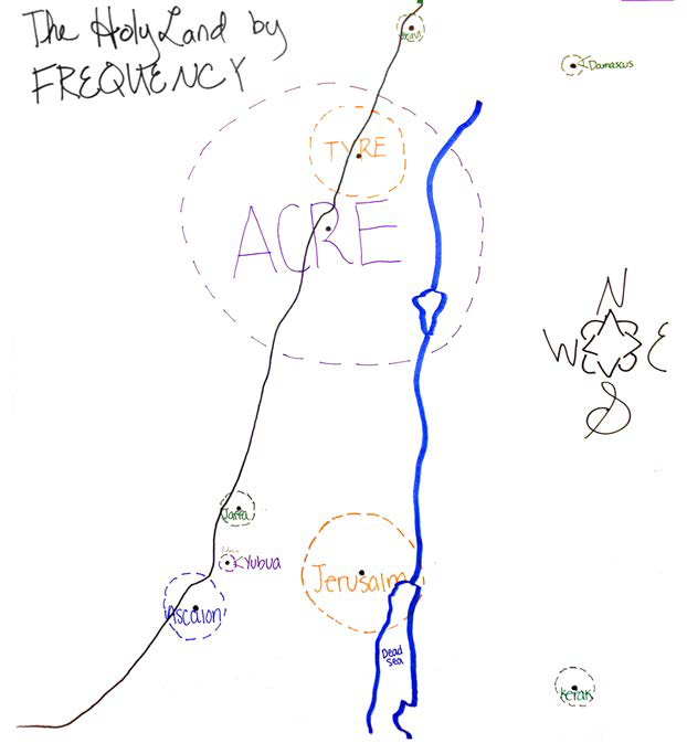
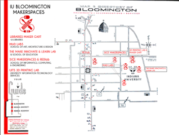
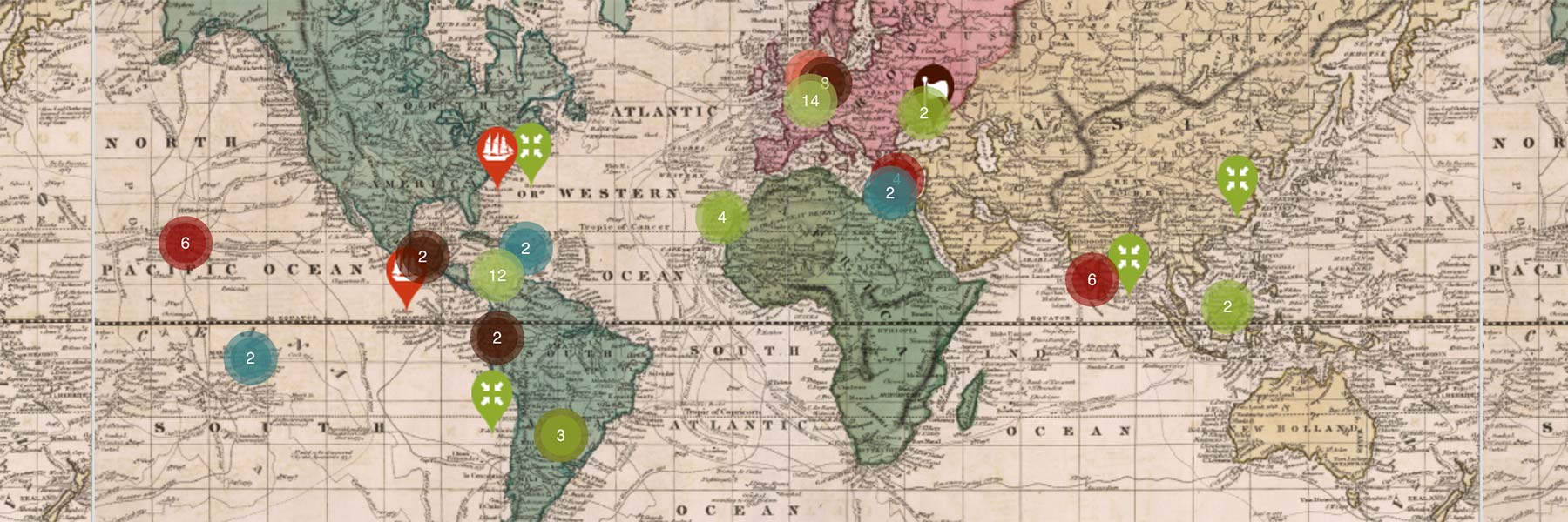
Geographic Information Systems, or GIS, promotes interdisciplinary conversations by situating data within its spatial context. Scroll through to see what IU faculty and students are mapping.

Daniel Story, a Ph.D. student in the History Department, combines his training as a geographer with his interest in nineteenth and early twentieth century American history. He has led a digital mapping workshop at the American Historical Association National Conference and pedagogy workshops at IU. This map shows the stops of the Barnum and Bailey Circus from 1871, when it began touring, to 1918, when its operations were taken over by the Ringling Brothers. Viewing it as a time animation reveals that, at least in terms of this particular form of entertainment, as late as 1905 the eastern half of the United States was more connected to Western Europe than to its own west coast.  Click the map to see it in action! 
Excited about the potential of mapping in the humanities classroom? Kalani Craig teaches digital mapping methods with analog tools. Students created a frequency map of places mentioned in Ibn Shaddad''s Rare and Excellent History, a twelfth-century biography of Saladin. Through this activity, students are better able to challenge Euro-centric perspectives of the Holy Land. Check out the full article at http://digitalcommons.georgiasouthern.edu/cgi/viewcontent.cgi?article=1655&context=ij-sotl
Explore IU Makes with this spatial guide, featuring UITS 3D printing labWells Library Maker Cart, SoAAD's MAD Labs, the Make, Innovate, Learn Lab at the School of Education, the SICE Makerspaces, and the Intelligent Systems Engineering REDlab. Scroll through to see project highlights from several IU Bloomington makerspaces, and to learn more about each space, download the map or visit the virtual-reality tour with Google Cardboard and your smartphone.
Curated by Konstantin Dierks, this exhibit explores the global scale of American diplomacy, commercial endeavors, military operations, and missionary efforts through an interactive map. Drawing from the Lilly Library's rich collection of eighteenth-and nineteenth-century material, the map traces America's international influence from the Revolution to the Civil War. Visit the exhibit at http://globalization1789-1861.indiana.edu/exhibit/home